Mt. Shasta
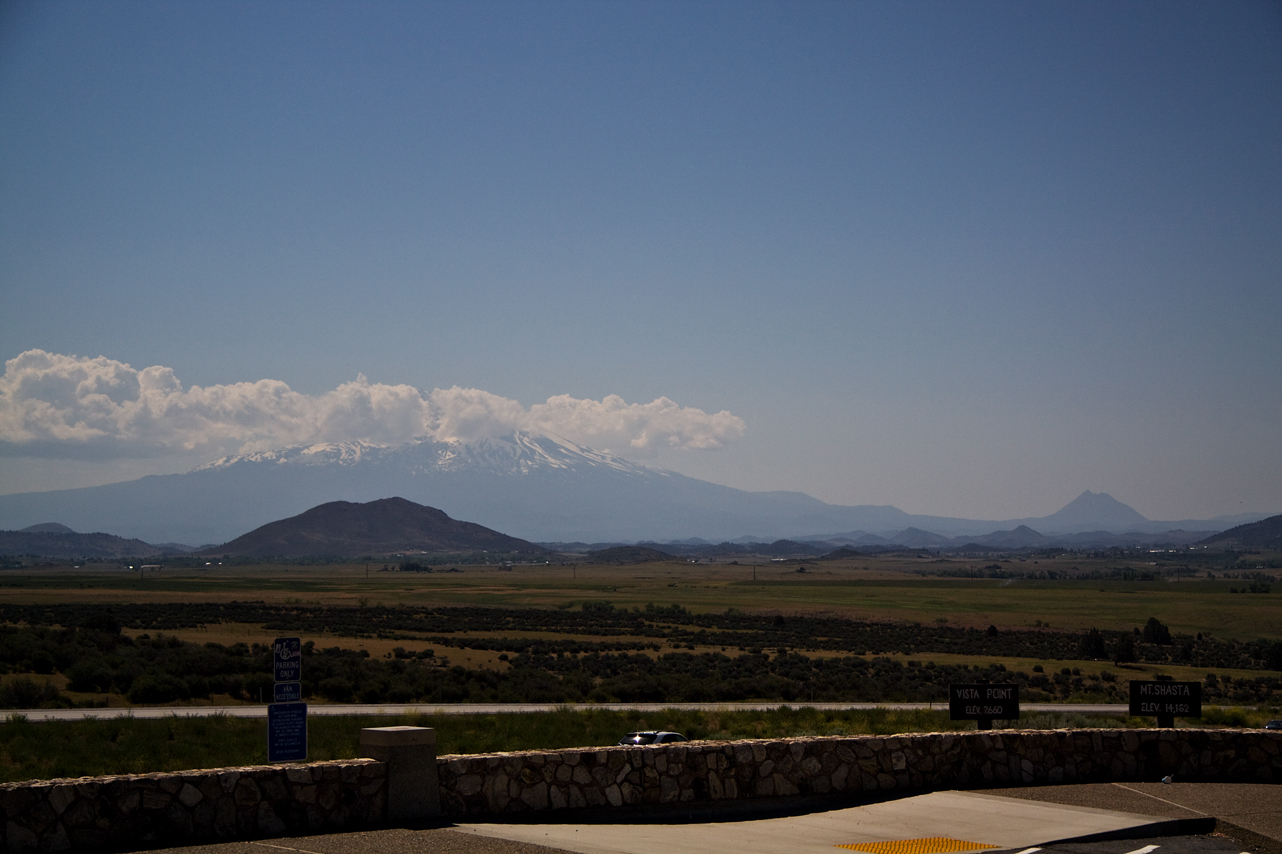
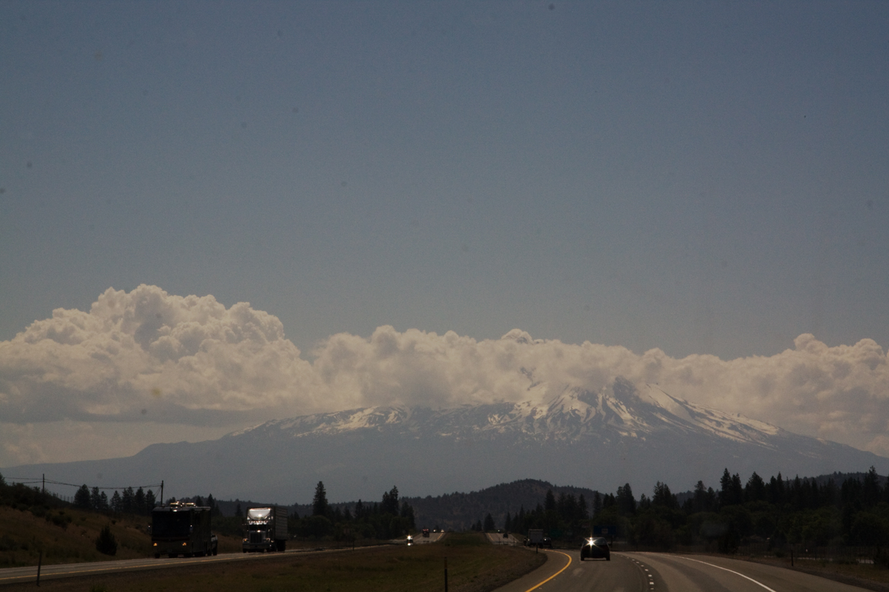
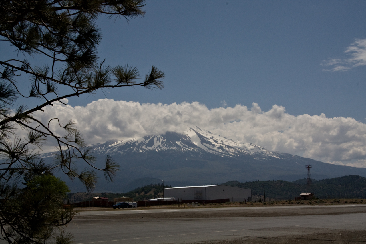
So much better “in person”…the interstate wraps around Mt. Shasta – it goes from a distant mountain to an “in your face” majestic, snow covered, volcanic peak. 14000 feet plus.

So much better “in person”…the interstate wraps around Mt. Shasta – it goes from a distant mountain to an “in your face” majestic, snow covered, volcanic peak. 14000 feet plus.
Bob had an outing. Karl and I had a nice long walk. It cooled off to 53 overnight. Overcast this morning but I believe forecast is for clearing. In deference to Sunday and a full and quiet park, we are delaying leave-taking until 7:00 a.m. – the end of quiet time.
I’m looking forward to today – hope to stop for a bit somewhere near Mt. Shasta and enjoy the cool. Our route today is I-5 until near Sacramento when we pick up I-505 into Vacaville.
8:20 First rest stop – finally cleared the overcast into hazy sunshine. Forgot in previous posts – the lupins are blooming along the highway along with something gold – very pretty with the lush green. When I got fuel this morning – an oh, in OR you may not pump your own…darn!! – 2 people attended me and they had questions about my travel so we had a nice chat AND they cleaned my windshield!!! – I LOVE OR! The young woman reminded me that the reason OR is so green is all of the rain. She and her family had moved from AZ – she said it took awhile to get used to the rain.
Ok – warming some coffee, making a breakfast burrito, will take a quick walk with Karl and off we will go.
10:00 a.m. Medford, OR. Engine Service light on and reduced engine power. Pulled over, stopped and restarted – all ok. I forgot to check the gas cap after someone else refueled which I know better! I’m suspecting that might be the issue, causing that vacuum thing that happens when the gas cap does not get seated correctly. Have reseated and will continue. Anyone with a GM engine that knows the sequence for turning off the engine service light, please send it on – comments or email: ann at beardogco dot com. I couldn’t find it in my manual and won’t be able to get anyone today or tomorrow. I’d like to reset and then see if it comes on again. I have it somewhere but can’t think where at the moment…
11:45 never mind – Google!!! – I found it and all is reset and I had no problems in the last 1 hour 45 – even over 2 mountain passes including Siskiyou. Hopefully just the gas cap. I’m stopped at a rest stop in the shadow of Mt. Shasta. Had lunch. Karl and I will walk and take some photos before getting back on the road. About 71 – very hazy but not overcast.
3:45 last rest stop after fuel stop. All still ok. In Willows, CA about 90 miles out. Hope to be in Vacaville plugged in 6-6:30 latest.
6:00 p.m. arrived Vacaville. No dramas, all well, just tired and hot. More later
Yesterday’s drive was absolutely beautiful. The interstate hugs the shore of the Columbia gorge with wonderful views of the rushing water, barges, boaters and some lush looking vineyards. There are nice RV parks, state parks and camping areas (motels also) along the way and this area would be on my list to spend more time. It was the perfect temperature at 68. Occasionally a bit of wind but nothing too bad.
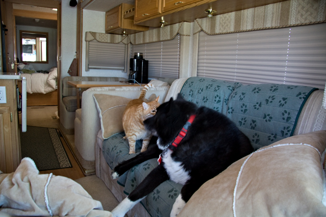
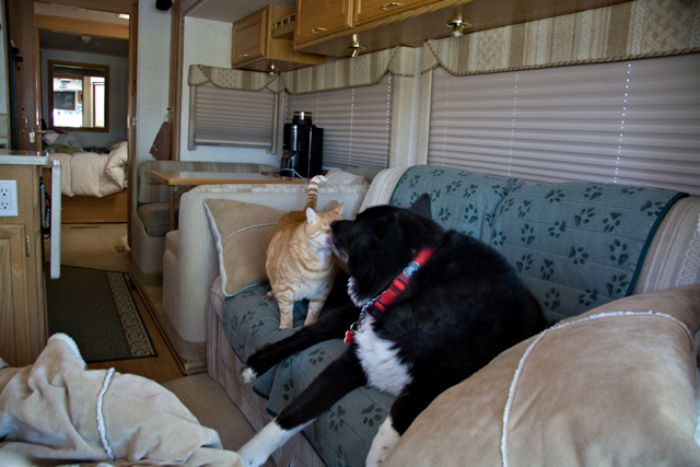
Bob and Karl shared a moment as I got situated at a rest stop. Karl rides on the couch behind the driver seat, Bob on the recliner across from him. On occasion they have shared the couch while underway, but typically, they like their own space!
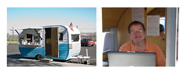
No espresso, but a “safety” coffee trailer manned by husband and wife. I had coffee, was kind of hoping for donuts but cookies were the order of the day. I neglected to ask for names but had a nice chat and got some great info for returning. One thing we had passed was groves of cedar trees – I finally saw a sign that said cedar wood trees. They were fairly obviously planted “forests” – come to find out, they are for pulp and the locals call them toilet paper trees :)!
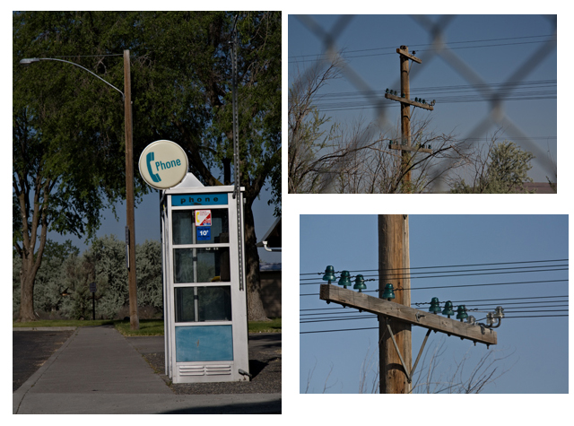
And a couple of blasts from the past – I was so surprised to see a phone booth that I had to take a photo – apparently it is currently an oft photographed item. Less photographed and coffee couple laughed with me, are the glass insulators – still apparently in working order!
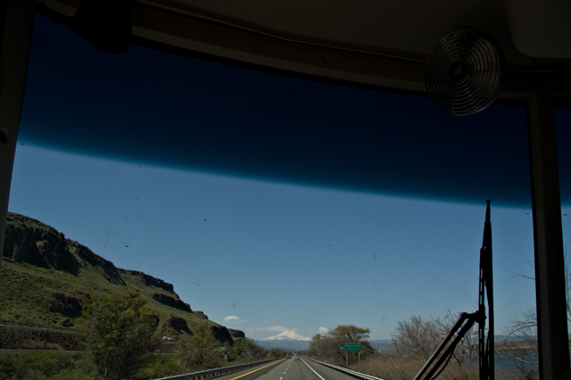
I am not having a lot of luck with my windshield photos this trip. But, I had to try for Mt. Hood. I was completely surprised to round a corner and there he was. Mt. Hood is over 11,000 and standing there all by his self. Looks a bit small and lost in this photo, but trust me, it was spectacular to see!
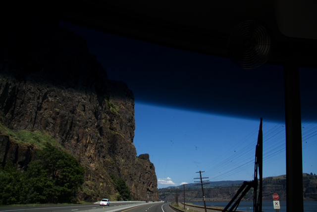
The gorge…too tired to disappear the bugs…
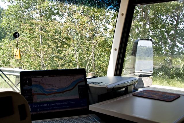
You can see more of the gorge in my mirror, but I confess I was mostly shooting the GPS display. This is my first trip with the new version of Delorme Street Atlas and this is the best. All the good info is large and easy to read – on the left is miles until the next turn, miles to go and ETA. On the bottom is detail about the next turn including things like “stay in the left lane on the ramp”. This is the tool that makes it easy to do this on my own. Between the text and voice guidance, it is almost like having a co-pilot…neither Bob nor Karl like to look at a map… Anyway, am loving this latest version. San Fran will NOT beat us!
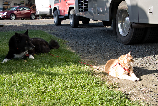
We all enjoyed a bit of relaxing outside before dinner. Another great day!
We passed a low key evening with a few walks and a late evening cup of tea (me) and roll in the grass (Karl and Bob). A restful night, a morning walk for all of us and we are about 30 minutes from departure – planned for 6:30 a.m. … I’m still on Mtn time even though we are officially Pac time – works for early leave-taking.
Route today is 395 to 84 along the Columbia Gorge to Portland where we pick up I-5 and head south. Shooting for Roseburg, OR for tonight.
8:10 a.m. First break – rest stop about 80 miles east of The Dalles on I-84. Hazy day promising heat in the valley but hopefully cooler by the river and the coast. We passed some WA vineyards this morning and then in OR, Cedar wood farms – incredible groves of cedars that looked like enchanted forests – beautiful!
No espresso stand here :)! – so made my own mocha. Karl and I will have a quick walk here and then get on down the road. ***there was a coffee stand, though – more later!
Noon – VERY quick stop for a break and a bite and a step out the door for a gorge photo – 20 miles east of Portland. An earlier fuel stop should take me to my end point today. Hope to stop longer after Salem. All is well, traffic is getting heavier and I expect will stay that way until after Salem.
2:20 p.m. – Had a nice walk at the best rest stop so far – nice green grass and shade in the dog area! We have a reservation in Roseburg, OR and should be there by 4:30-5:00 – sitting 120 miles away and ready to roll after a safety check.
5:00 p.m. nearly on the dot we arrived – beautiful!!! park – Rising River RV Park in Roseburg with such wonderful folks. And we have a tree and shade out our front door. I’m pooped – lots of photos to review – later or tomorrow on the blog.
If this is your first “ride-a-long” on From the Front Porch, here’s the drill: I post my planned route and departure time, just before I leave for the day. I usually post some log items through the day and then my arrival.
Later, I delete the route info and any boring bits and change the post to the story of the day, hopefully with photos.
The route and log is a safety thing – family knows where I am.
7:42 a.m. We are all aboard, the Jeep is hooked up, engine is running and we are ready to roll so…off we go, then!
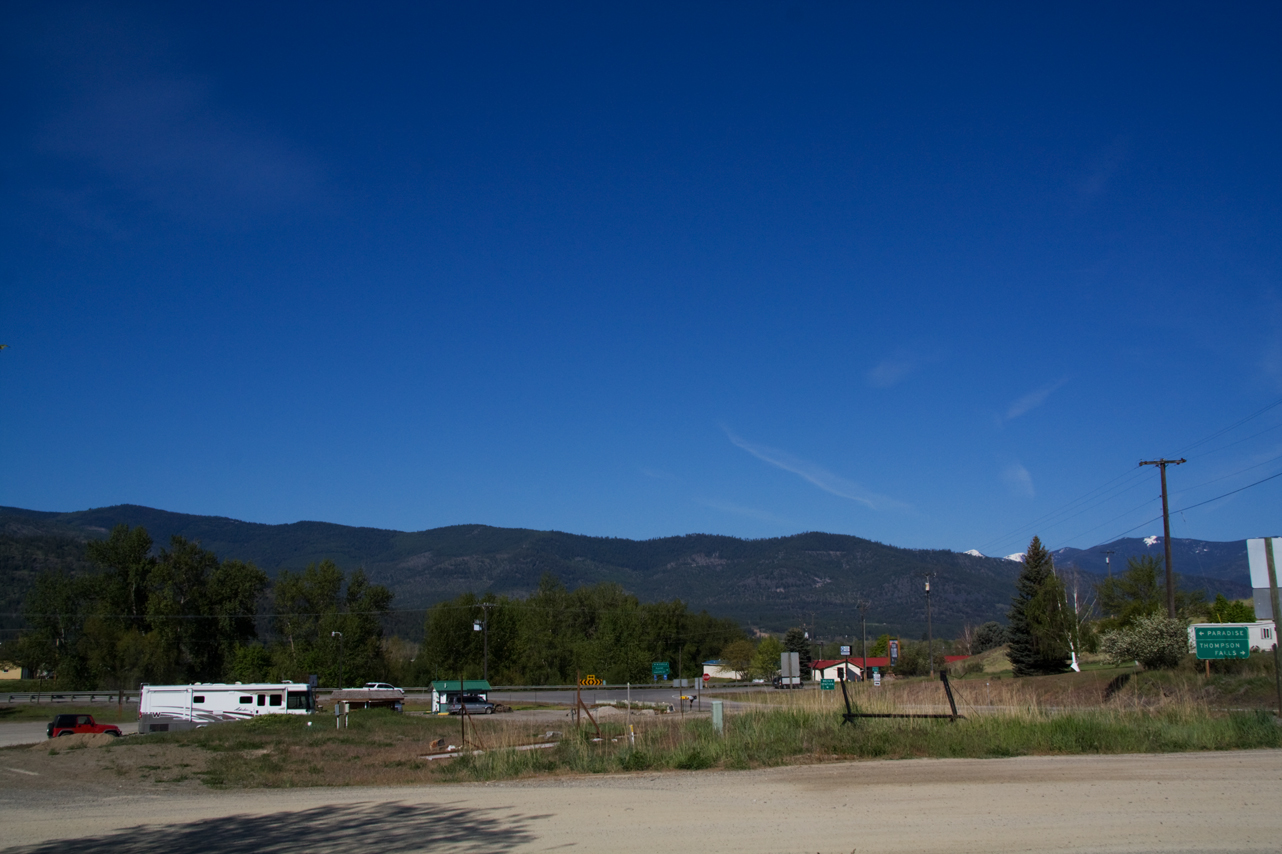
I stopped in Plains MT for a walk and a break. There is an espresso stand and they had fresh bagels so I decided I was hungry enough for a mini-meal: 1/2 bagel with sliced tenderloin I roasted yesterday to go with my latte. Beautiful morning and the drive along the lake and then the Clark Fork River Valley was beautiful. The River was high, fast and a churned up brown from run-off which is a departure from its usual clear green-blue.
No prize winning photos today…
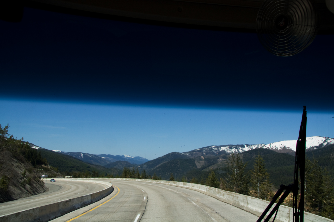
Out the window, between a few bugs…I-90 approaching Coeur d’Alene, ID. Lake Pend Oreille as well as Coeur d’Alene Lake were beautiful – sparkling water, a few boats and the surrounding mountains. But no turn outs and a winding interstate with too much traffic to try for a shot.
Spokane traffic was busy but there is just I-90 so no complicated interchanges or spaghetti junctions.
Past Spokane, WA flattens out and is desert open range. But this time of year there IS a bit of green.
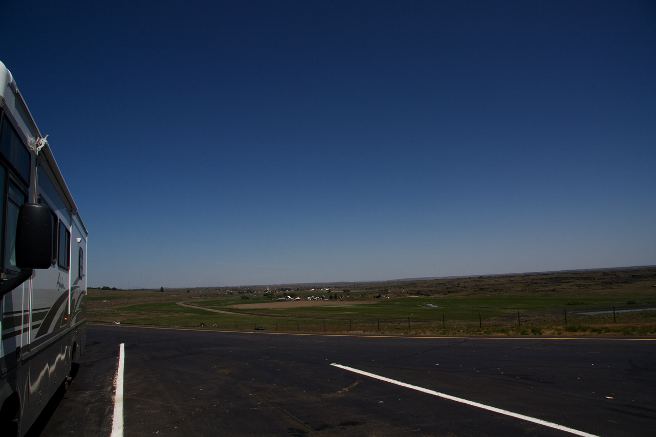
This rest stop was about 70 miles from Connell, WA. Karl and I had a good walk and called Coyote Run RV Park to see if they had a spot for us, which they did and we pulled in about 4:15 Mountain Time, 3:15 Pacific Time. We are on Pacific time now.
It was 82 when we parked. I run the generator and house a/c down the road so we were relatively cool when we arrived and soon on park power.
A good first day although tiring. We are only 317 miles down the road in 8 1/2 hours – 120 miles of 2 lane, a bit of construction, a bit of traffic making for slower progress. It is supposed to cool into the 40’s tonight so we’ll shoot for an early start in the morning and hopefully get our miles in a bit earlier tomorrow.
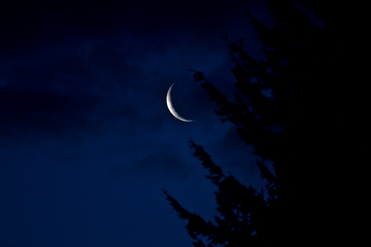
Photo taken 5/21/2009 05:14 a.m.